618


Start/Finish
Grand Bourg
Distance
78km
Elevation gain
1448m
Time
5h30-6h00
Best seasons
été & printemps
Difficulty
3/5*
Physical & technical
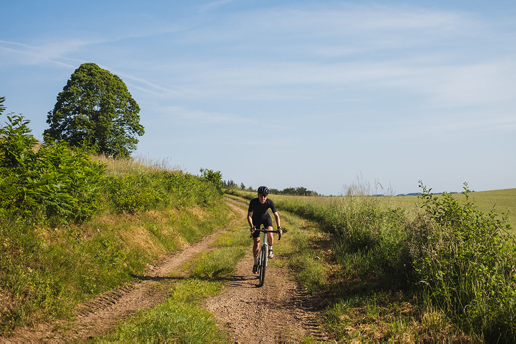
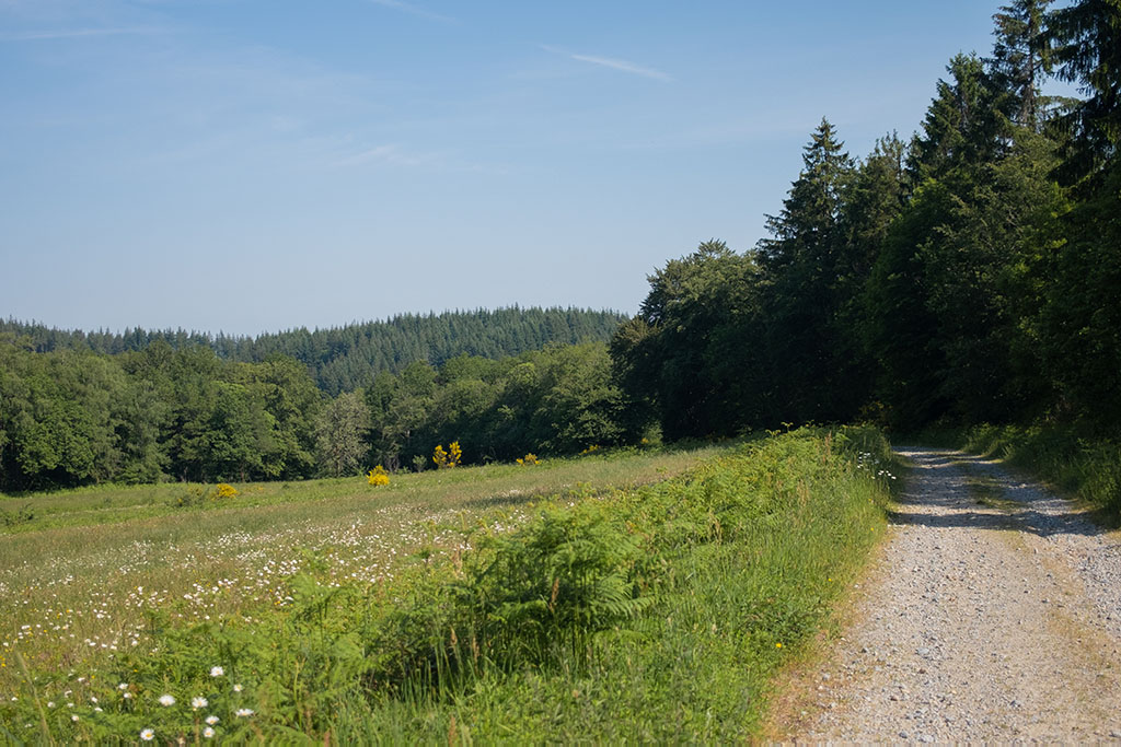
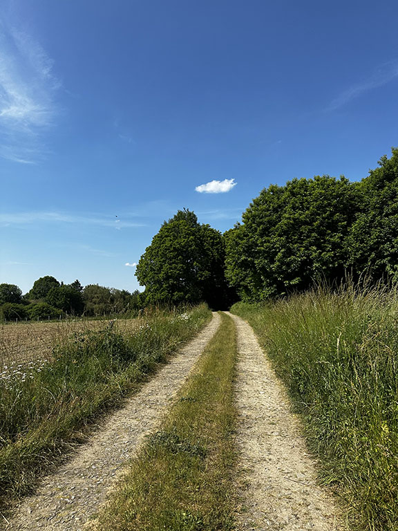
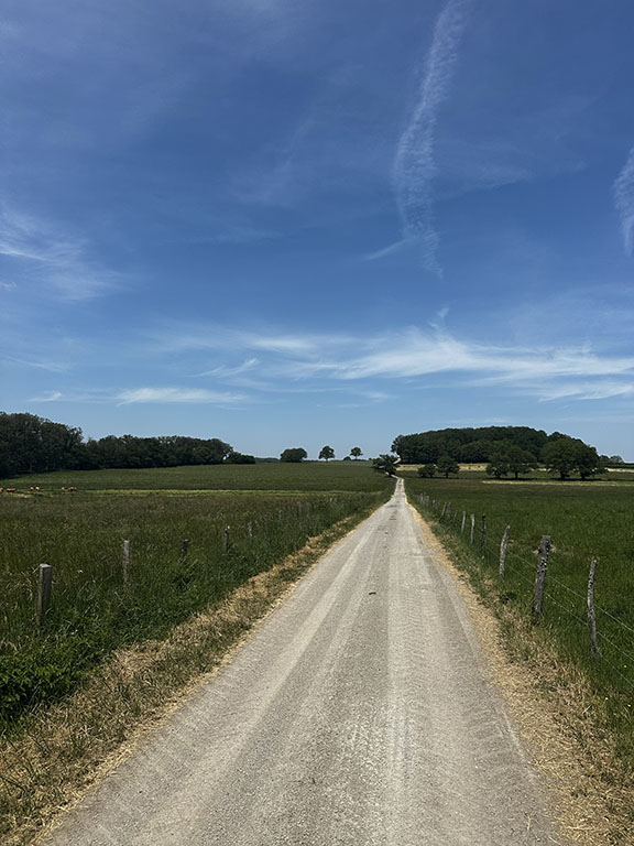
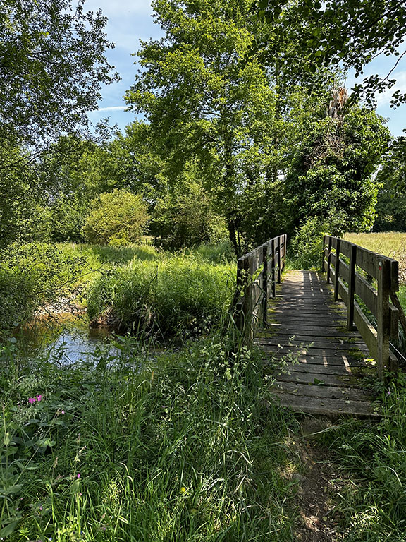
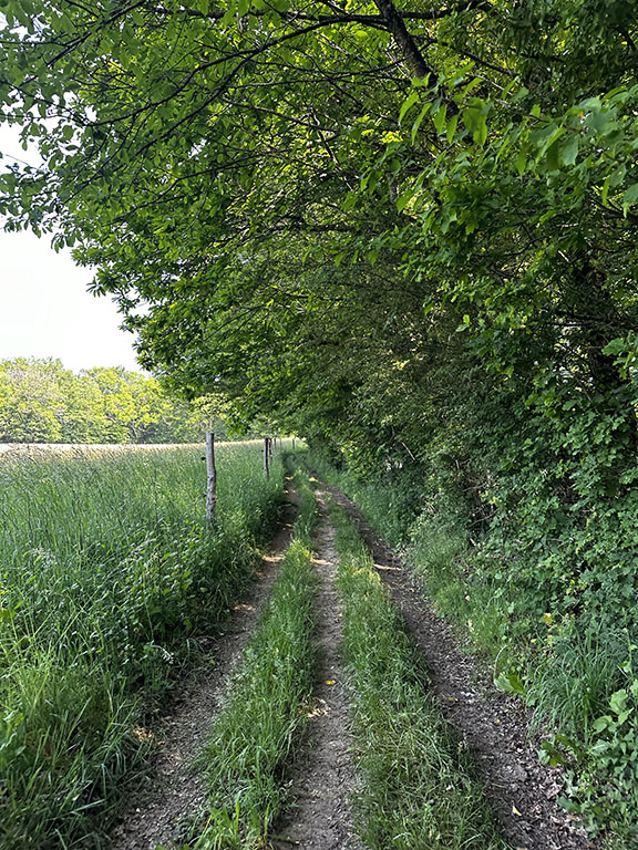
This 78-kilometer itinerary offers a wide variety of landscapes and trails, ranging from wide gravel tracks to dirt paths, including singletracks and country roads.
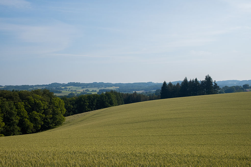
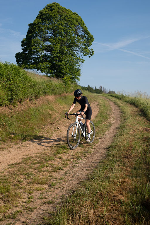
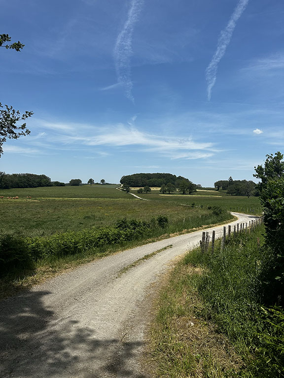
Throughout this ride, you will discover magnificent panoramic views of the area. You will quickly realize that Creuse boasts an impressive hilly terrain! You will experience it firsthand as this route has a positive elevation gain of 1446 meters.
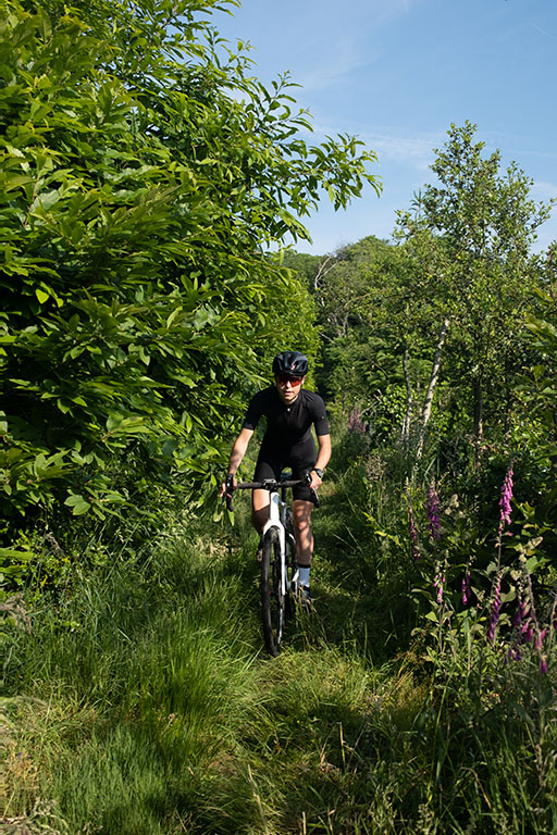
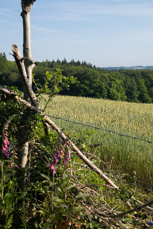
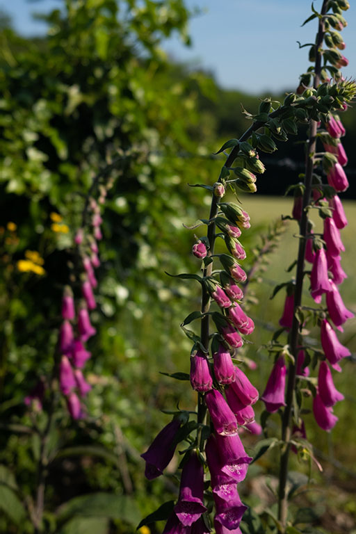
The region is also home to a rich variety of fauna and flora, such as the common heather (Calluna vulgaris), which is frequently encountered along this route.
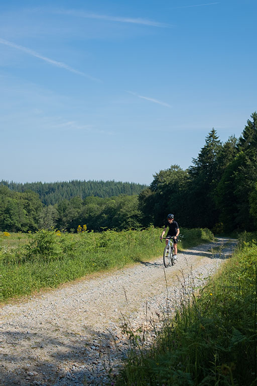
You will also discover the cultural richness of Creuse as you pass through numerous small hamlets that are full of historical heritage. When you visit Saint-Goussaud, you will have the opportunity to admire its church and discover the Lantern of the Dead. You will also find a water point in front of the church where you can refill your water bottles. Just look for the tap located on a wall right next to the information panel.
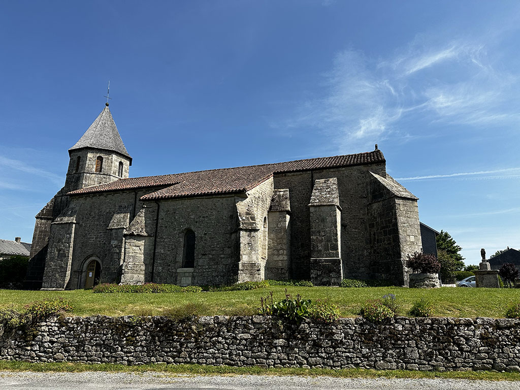
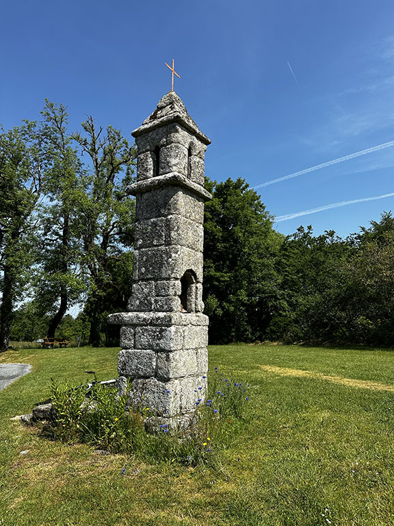
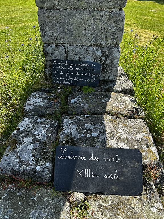
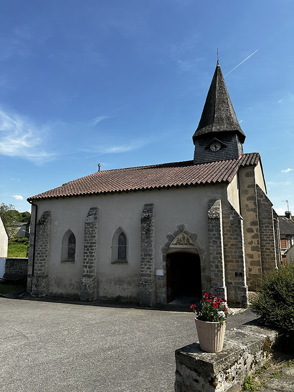
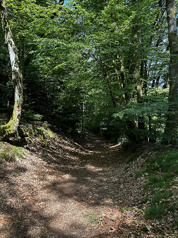
While the majority of the route takes place on wide tracks, some sections through the forest can be a bit technical. So, be cautious when entering these paths, especially the downhill one after Saint-Goussaud.
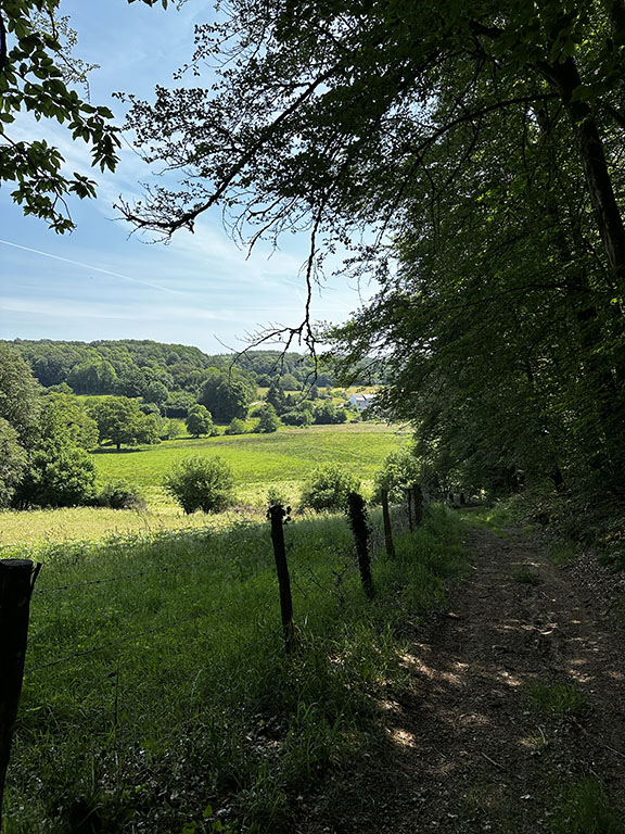
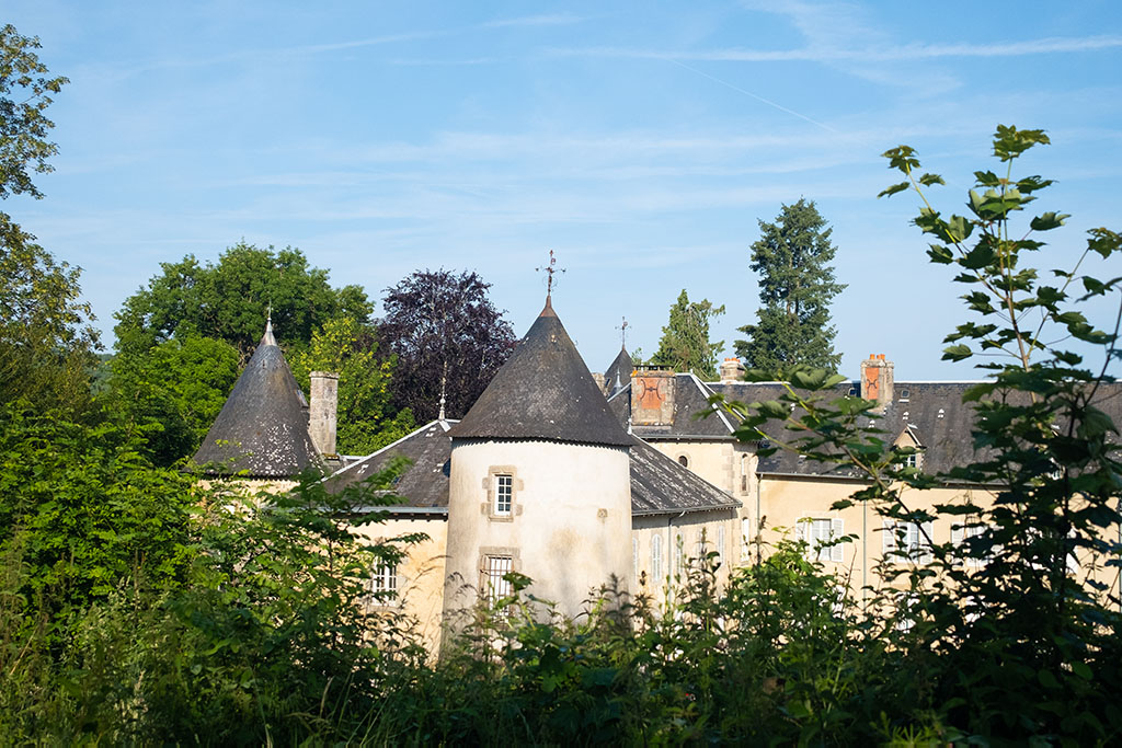
This itinerary will also lead you to exceptional sites such as the Templar Commandery of Paulhac, the Étang de la Toueille where you can observe heronries and mills, as well as the majestic Gros Chêne de Sazeirat, which is over 400 years old. You will also have the opportunity to visit Puy du Gaud and the Paper Mill of Fursac. Along the way, you will be rewarded with breathtaking 180-degree panoramas of the Creuse countryside, offering stunning views of the surrounding landscapes.
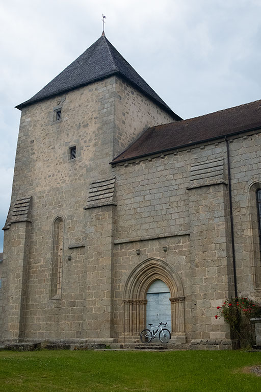
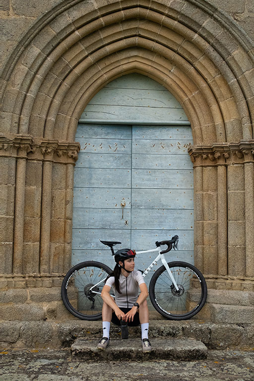
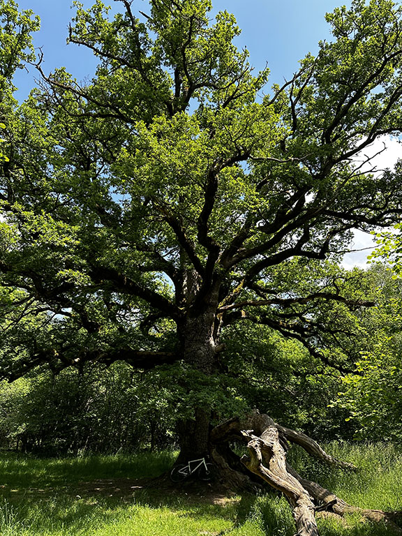
In conclusion, this route is ideal for discovering Creuse while taking on a small physical and technical challenge. You can also complete it as a bikepacking adventure and enjoy camping under the stars.
Please note that forest paths may undergo modifications after the passage of forestry workers. It is usually possible to turn back and take an alternative departmental road before rejoining the trails. I highly recommend downloading an offline map of the area and the GPX track on a navigation app on your phone. This will allow you to navigate more easily and adapt to any changes along the route. Be prepared and make sure you have the necessary tools to navigate safely.
Fursac 78km
Map & GPX/KML
tested
Near the route
Best Addresses
(*tested)
ACTIVITIES
Bénévent-l'Abbaye
Abbatiale St Barthélémy
Visit the Abbatiale St Barthélémy of Bénévent-l'Abbaye
Paulhac
Templar Commandery
Visit the Templar Commandery of Paulhac

