Roquebrune-sur-Argens
42km
+620m
2h20
fall, spring & summer
1/5*
Physical & technical
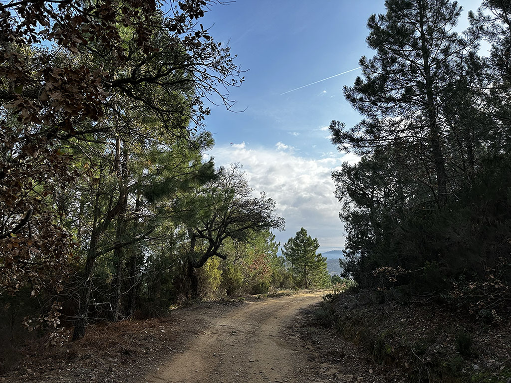
You will be immersed in nature on these wide yellow tracks typical of the region. Over a distance of about forty kilometers, the route is very smooth, and the elevation gain is barely noticeable. The view gradually opens up, allowing you to fully appreciate the surrounding landscapes.
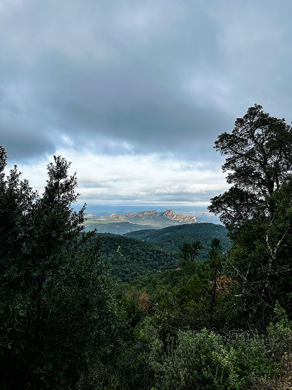
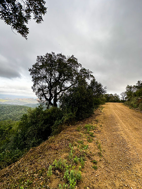
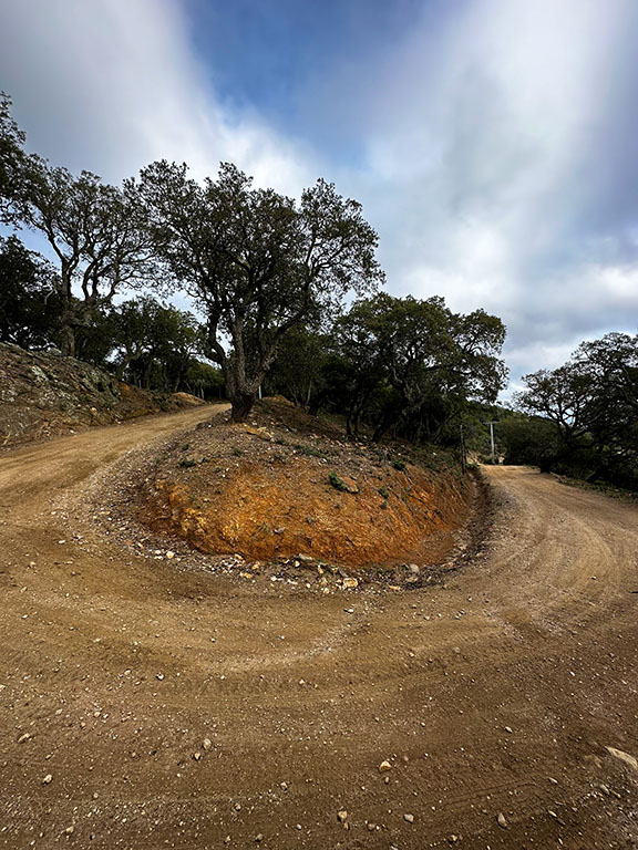
You won’t get tired for a second on these beautiful tracks!
When you finish the first gravel section at Valdingarde, you’ll have a few kilometers on a forest road before reaching the continuation of the tracks that will take you to Fréjus and the seaside.

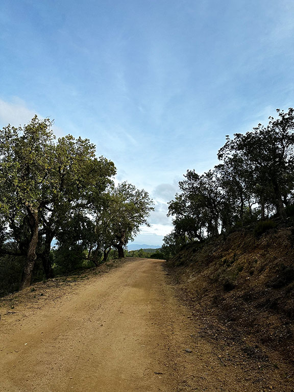
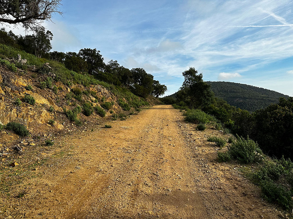
After reaching Fréjus, make sure to take the bike paths. You’ll have the choice to either continue on a third and final gravel section (48 km) or return via a bike path on the road (42 km).
You’ll find both routes to download below.
Best Addresses
(*tested)
ACTIVITIES
Hike of the 3 Crosses - Rocher de Roquebrune
You will find marked paths with two levels. The easier one is even accessible with dogs!
Massif de l'Estérel
For hikers or mountain bikers, explore the various circuits set up in the heart of the Esterel Massif.
Culinary Specialties / Local Products
- La bouillabaisse
- La daube provençale
- L’anchoïade
- La soupe de poissons de roche
- La fougasse
- La tapenade
- L’huile d’olive
- Le chapon (fish)
- La panisse
- L'olive de Nyons

